Case studies (2) - Soil, Water, and Catchment Management
Soil, Water and Catchment Management

Title

Soar Catchment Natural Flood Management (NFM), Trent Rivers Trust / Soar Catchment Partnership
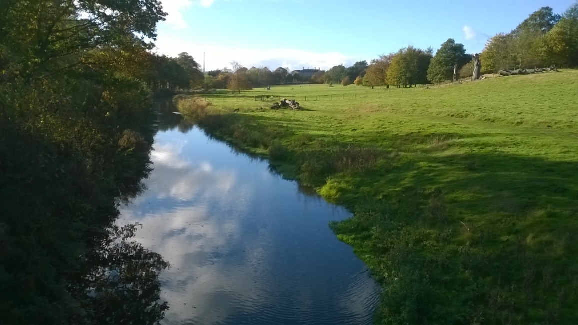
Working on behalf of the Trent Rivers Trust, SWCM undertook opportunity mapping for large-scale implementation of NFM measures around Leicester. Focussing on the headwaters of the Rivers Sence, Soar and Eye, the work involved catchment characterisation (especially soils & landuse) , hydrological monitoring and data analysis. A key component was identification of opportunities using desk research & models (SCIMAP, rainfall-runoff models) and validation with stakeholders, before field-validation and discussion with landowners. Ultimately, the intention was to identify high runoff areas where widespread implementation of NFM chain of measures is feasible for on-going implementation to help protect Leicester and local environs.
Hydrological Management Plan, Consultation & Implementation, Burghley Estate
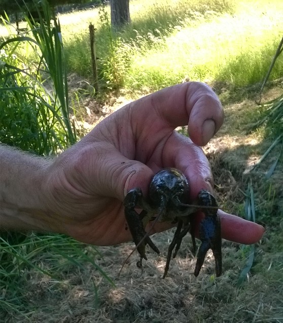
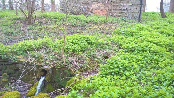
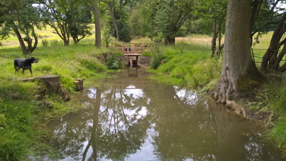
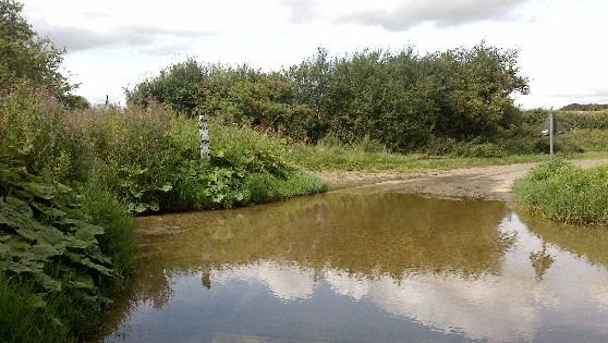
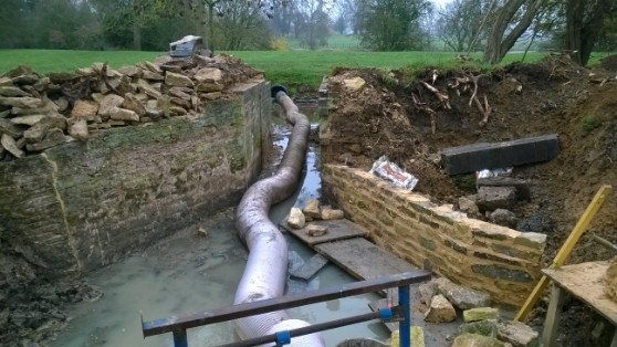
The serpentine lake dividing Middle and Low Park at Burghley was constructed c. 1775-85 during Lancelot ‘capability’ Brown’s remodelling of the park for the 5th Earl. Today the lake is heavily silted, notably to its western end. SWCM was commissioned to lead and undertake a study of sediment inputs from surrounding land, notably agricultural, amenity and equestrian, and to undertake hydrological & water quality monitoring of the main input. Methods included monitoring using logging water quality sondes, flow & level loggers, survey of historical water features, and development of rural SUDS measures using sympathetic approaches combined with existing features. The work included restoration of a cascade of 11 former trout ponds, which are now home to an important population of white clawed crayfish (Protected Species), necessitating a bespoke method statement & management plan.
Subsequent to this project, SWCM was commissioned to undertake investigations into water sources, requiring historic research, site investigations and liaison with Environment Agency, Natural England, Anglian Water, Highways and former Estate staff.
